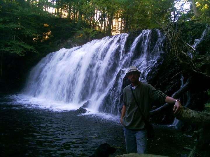
Vaughan, Hants County
44N48.791 64W13.945
20T E0402551 N4962936
RIVER: Smeltzer Brook
CLASS: multiple cascades
SIZE: 10', 10', 8'
RATING: average (**)
TRAIL: upstream
DISTANCE: 200m
HIKING TIME: 30 minutes
CONDITIONS: moderate
GEOCACHE: none
NS Atlas Page: 57/X4
NS topo map: 21A16 (Windsor)
DRIVING DIRECTIONS: from Windsor, take Exit5 west off HWY101 towards Three Mile Plains. Follow this road 1km to the intersection with HWY1, across from the gas station. Turn right and drive towards Windsor 1.8km and turn left onto HWY14 (signs for Martock, Chester) Drive 21.7km to Smeltzer Road and turn right, then turn left at the intersection immediately following. Park in the church parking lot.
TRAIL DESCRIPTION: walk along Lakeview Crescent 400m back to HWY14. Cross over the highway and cross into the woods where Smeltzer Brook crosses under the road. Head upstream to the first set of falls and continue upstream another 300m, passing several beautiful cascades on your way to the top.


No comments:
Post a Comment