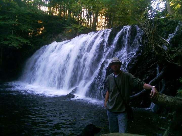
Upper Musquobodoit, Halifax Regional Municipality
45N06.405 62W56.767
20T E504239 N4994811
photo Sylvia Fisher (2012)
RIVER: Sherlock Brook
CLASS: multiple
SIZE: 15'+20',10',csc
RATING: excellent (***1 /2)
TRAIL: upstream
DISTANCE: 600m
HIKING TIME: 1 hour
CONDITIONS: moderate
Geocache: none
NS Atlas Page: 50/V3
NS topo map: 011E02 (Upper Musquobodoit)
photo Benoit Lalonde (2009)
DRIVING DIRECTIONS: from Stewiacke, take Exit11 off HWY102 eastwards towards Stewiacke. Follow Main Street 1.2km to the Y-intersection, trend right onto Kitchener Street. Follow this road 4.8km as it becomes Stewiacke Road, then turn right onto Alton Road. At 700m, keep left to Wittenburg Road, and drive 12.4km south along this road to its intersection with HWY224. Drive 5.9km to the settlement of Middle Musquobodoit. When you reach the Y-intersection in town, keep right to remain on HWY224 and then, left at 300m (by the Esso station) as HWY224 continues. Drive a further 17.6km to Caribou Road (signed for Caribou Mines) and turn right. Take your first left at 800m onto Deckman Road, and then trend right at the intersection 1.2km along onto a dirt road. Drive 1.8km to where Sherlock Brook crosses under this road.
.
photo Sylvia Fisher (2012)
TRAIL DESCRIPTION: hike downstream to three separate falls. The first falls you reach are cascades, followed by a nice steep cascade and then to the third and tallest falls of this set further along. This furthest set has a nice plunge pool and a good sized clearing nearby for camping. The understorey of the forest here is fairly clear, making the hike alongside the river fairly easy.
photo Sylvia Fisher (2012)


No comments:
Post a Comment