Saturday 4 August 2012
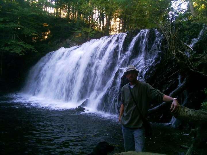
MURDOCHS BROOK FALLS
West Gore, Hants County
N 45° 02.246 W 063° 47.564
20T E 043761 6 N 4992969
RIVER: MacInnis Brook (formerly Murdoch Brook)
CLASS: cascade
SIZE: 10'
RATING: average (**1/2)
TRAIL: logging road
DISTANCE: >500m
HIKING TIME: 20 minutes
CONDITIONS: easy
GEOCACHE: none
NS Atlas Page: 48/W4
NS topo map: 011E04
DIRECTIONS: from Windsor, take Exit 5 off HWY 101 , headed west towards Brooklyn along HWY 14. When you reach this small village, turn left at the war memorial in the middle of the road, continuing straight past the Petro Canada gas station at the top of the hill onto HWY 21 5. Turn right onto HWY 236 at the
crossroads approximately 1 km along, following this paved road 19.5km to Clarksville, turning right onto HWY 202. Proceed westward on this higyway approximately 2.2km, watching for an old logging road on your right at N 45.05.368 W 63.47.488, park off the road here.
Trail Description: walk up the old logging road, following it to its conclusion as it turns to the right. The stream is directly below on your left. Find a suitable path down to the streambed and walk downstream approximately 150m to the falls.
A small set of falls nestled in a mossy gorge, these are very accessible and peaceful. Formerly named Murdochs Brook, the stream is now named MacInnis Brook. The lands surrounding these falls were along the original 1000 acre grant to William Smith
Subscribe to:
Post Comments (Atom)


No comments:
Post a Comment