Newport Corner, Hants County
44N57.369 63W59.961
20T E0421176 N4978564
RIVER: Bog Brook
CLASS: slide/cascade
SIZE: 15'
RATING: average (**1 /2)
TRAIL: dirt road
DISTANCE: 150m
HIKING TIME: 15 minutes
CONDITIONS: moderate
GEOCACHE: none
NS Atlas Page: 58/V1
DRIVING DIRECTIONS: from Windsor, take Exit4, eastbound onto HWY1. Drive 1.1km and park at the disused service center on the left side of the road.
TRAIL DESCRIPTION: cross the highway and walk west up the road about 100m, and turn down a gated dirt road. Hike down this road to the brook and walk along the edge to the falls. Please be advised that this is a private driveway, belonging to the house that perches on the hill above the falls. The owner does not have issues with people using his driveway to get to the falls, but please be respectful of his property and stay on the brook.
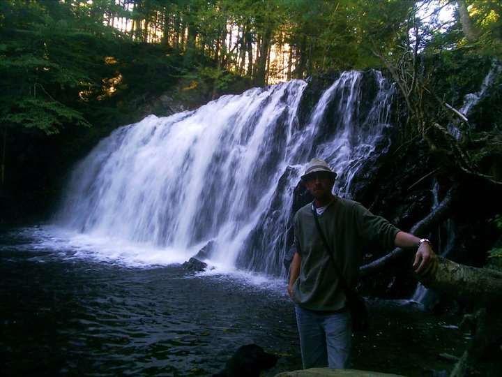
A popular swimming hole, there is a seemingly bottomless hole at the top of the falls that remains ice cold even in the summer. The falls are not the most impressive in the province, sliding over a fifteen foot outcropping, and having carved a few potholes in the slide. Upstream, there are numerous small caves, nothing deep but nonetheless quite attractive.


What is the name of the brook moose hole falls bison?
ReplyDeleteIt says Bog Brook
ReplyDelete