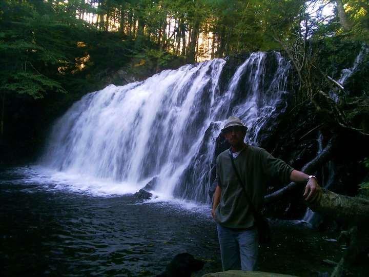
Melford, Inverness County
45N51.909 61W16.301
20T E634151 N5080517
RIVER: McMillans Brook
CLASS: plunge/s;ide
SIZE: 40 feet
RATING: excellent (****)
TRAIL: dirt path
DISTANCE: less than 100m
HIKING TIME: 5 minutes
CONDITIONS: easy
GEOCACHE: GCYAQR
NS Atlas Page: 22/X3
NS topo page: 011F14 (Whycocomagh)
photo: Kris Griffon
photo Sylvia Fisher
DRIVING DIRECTIONS: from Port Hawkesbury, travel north along HWY105(TCH) 30km to RIver Denys Road, a dirt road on your left at 45N52.199 61W15.701. Drive up this road about 750m and park off to the right hand side of the road.
photo falach-fead (2006)
TRAIL DESCRIPTION: walk down the stairs to the base of the falls. An improved area, there is a picnic bench in the clearing below these beautiful falls that plunge out of a notch in the bedrock 20 feet, to hit a smooth bedrock slide that empties fanlike as McMillan Brook continues its way downstream to meet the River Denys.
photo: Amanda MacLoed (2013)
One of the more popular falls in Nova Scotia, this site is a quick detour off the Trans Canada Highway for a few minutes recharging at the base of the falls.
photo by Tammy Aucoin (2014)


Myles Doyle Falls - the location of my Great Grandfather's tannery. Lovely images of it!
ReplyDeleteGood directions, I’ll just add that for those unfamiliar with trails, ribbons mark the path's beginning. Blackflies are bad this time of year, but Myles Doyle Falls are well worth it.
ReplyDeleteI enjoyed the walk and the view of the falls. Thanks for the scoop on how to find them!!
can you access these falls easily in the winter?
ReplyDelete