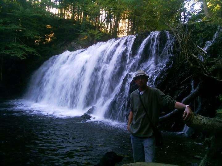
BARREN HILL FALLS
Grand River Falls, Richmond County
N 45° 42.320 W 060° 36.403
20T E 686297 N 5064094
RIVER: Barren Hill Brook
CLASS: plunge
SIZE: 15'
RATING: average (**)
TRAIL: none
DISTANCE: 600m
HIKING TIME: 30min
CONDITIONS: moderate
Geocache:GC1 ZY4X
NS Atlas Page: 34/Y2
NS topo map: 011F10 (St. Peter's)
DIRECTIONS: from St. Peter's, take HWY #4 westward, turning
right onto HWY 247 at the Department of Transportation
building, following this road through the village of L'Ardoise
1 1 km, turning left onto Grand River Rd. Continue down this
paved road 8km, turning right onto the first bridge in the
community of Grand River, drive up the hill and turn left onto
Loch Lomond Rd across from the United Church, at the
graveyard. Drive down this dirt road 8.5km, and turn right onto
Barren Hill Rd. Drive down this road approximately 1 km, to
where the stream flows underneath the road, park off to the side
of the road.
Trail Description: walk downstream, crossing as you see fit, to
the falls, about 600m in. There is no trail to these falls, but there
is ample space between trees to make this a moderate hike.
When you arrive at the falls, stick to the right hand side of the
falls, continue along this ridge a hundred meters to easy access
down into this small gorge and walk back upstream to the base
of the falls.


No comments:
Post a Comment