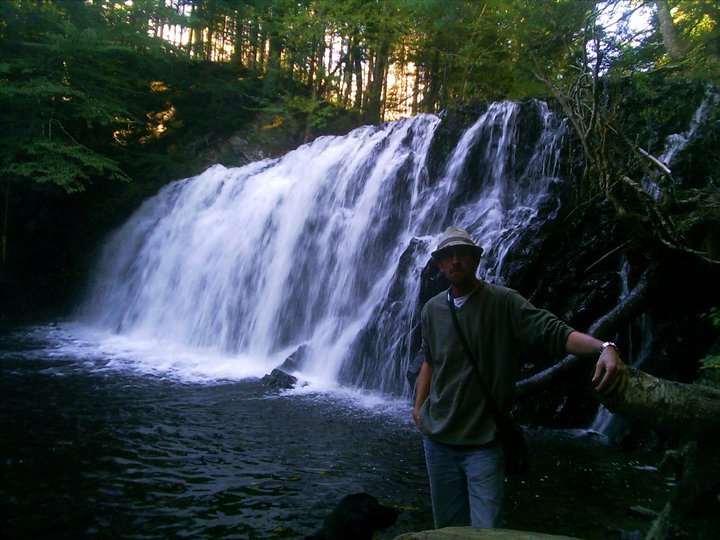
Monastery, Antigonish County
45N34.463 61W39.003
20T E 605328 N 5047646
River: Monastery Brook
Class: tiered
Size: 15' (5m)
Rating: excellent
Trail: none
Distance: 200m
Hiking Time:20 minutes
Conditions: moderate/bushwhacking
GEOCACHE: GC13GKT
NS Atlas Page: 32/Y4
NS Topo Map: 11F12 (Antigonish)
photo Ian MacDougall (2008)
Driving Directions: from Antigonish, drive east on HWY104 34km to Exit37. Turn South onto Old Antigonish Rd (HWY4), travelling west, then turn right onto Monastery Road. Pass by the monasery, travelling about 3km, until you reach the bridge over Monastery Brook at 45N34.541 61W39.038. Park off to the side of the road.
Trail Description: bushwhack upstream from the bridge approximately 200m to the falls. The easiest approach is found along the right hand side of the stream
photo geoscotians (2007)
Monastery Brook is named for the Trappist monastery founded here in 1825 by Father Vincent de Paul Merle. He named it Petit Clairveaux. In the fall of 2000, Maronite monks moved into the monastery, which has also been home in the past to Augustinian monks. The "Holy Well" is located between the monastery and the falls site on the left hand side of the road. A parklike setting, it features a small chapel, several statues and the Holy Well. A cup is always located next to the spring-head, and the water is cold and refreshing. Parking for the Holy Well is at 45N35.904 61W38.346.
lower monastery falls
photo geoscotians (2007)


The bridge that you park by, is it a single lane metal bridge?
ReplyDeleteBeen here
ReplyDelete